Downloadable Files
You can download Atlas for free from the bottom of this page.
Create and Animate Real-World Maps in After Effects
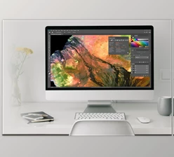
Atlas is a mapping and data visualization tool for Adobe After Effects that creates real geographic maps and animates data directly inside your compositions. It uses open geographic data to build editable maps, display locations, create animated routes, and visualize thousands of moving data points.
Unlike tools that only provide static map images, Atlas combines native After Effects layers with a dedicated particle effect. You can work with everything from a complete globe to the streets of a single city, while keeping control over the map's appearance, camera movement, and geographic elements.
Create Real Maps Directly in After Effects
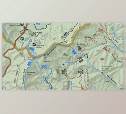
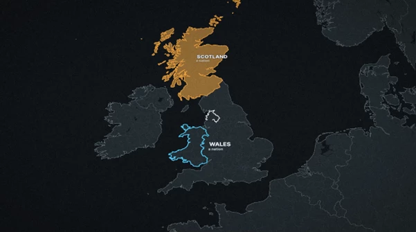
Atlas builds geographic maps using real-world information from sources such as Natural Earth and OpenStreetMap. Maps can be created as native shape layers, text, nulls, and footage, so their elements remain editable inside After Effects.
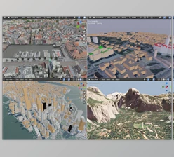
The bundled Natural Earth data supports offline world map creation. For more detailed locations, Atlas uses OpenStreetMap to display real streets, buildings, parks, waterways, and road names.
The mapping system supports ten geographic projections, including Globe, Mercator, Robinson, Winkel Tripel, and Natural Earth. It also offers several ways to represent geographic details:
World and regional maps: Display countries, regions, borders, and entire continents.
Street-level maps: Show actual roads, buildings, parks, and street routes.
Terrain visualization: Add elevation bands, contour lines, hillshading, and ocean depth.
Satellite imagery: Use Sentinel-2 imagery, available national aerial surveys, and NASA daily true-color imagery.
Animated globes: Rotate a globe, display sunlight and night lights, and animate elements above its surface.
Atlas can also create a continuous camera move from a country-level view into a detailed city map while maintaining sharp geographic information.
Atlas Particles: Animate Geographic Data
Atlas includes Atlas Particles, a native After Effects effect designed to render large amounts of geographic data. Rather than building each moving point as a separate animated layer, the effect draws particles directly during rendering.
It supports six types of data visualization:
| Visualization | Purpose |
|---|---|
| Journeys | Animate movement between starting and ending locations |
| Events | Display geographic events over time |
| Tracks | Visualize recorded movement along a path |
| Flows | Represent movement between geographic locations |
| Heat | Show geographic data intensity |
| Point Clouds | Display large collections of geographic points |
For journey animations, each data row can describe a starting location and destination using coordinates or location codes. Atlas can turn these records into moving particles with visual styles such as Flow, Comet, Pulse, and Fireflies.
Particle trails and fades can respond to their duration on screen. The effect also works with Atlas camera movements, allowing particles to rise above flat maps or follow a three-dimensional perspective.
For rendering on a machine without the Atlas Particles effect, the animation can be baked into a PNG sequence.
Customize Maps with 23 Styles
Atlas provides 23 starting styles, covering different visual approaches for geographic presentations. Available designs include Dark Dashboard, Street Light, Classic Atlas, Political, Newsprint, Neon, Blueprint, Hypsometric, and Documentary Dark.
The Style tab lets you modify colors, line widths, fonts, borders, terrain shading, contours, glows, and other visual details.
You can also create a style from the colors of an existing After Effects composition or brand image. Custom styles can be saved, shared as files, or imported from Mapbox Studio, Mapbox GL, and MapLibre style JSON sources.
An existing map can be restyled without rebuilding its geographic content.

Add Pins, Routes, Labels, and Camera Movements
Atlas includes geographic elements that remain connected to the map as it moves.
Pins can use one of 12 built-in designs or a custom composition. Labels are designed to avoid overlapping, while areas and borders can be filled, outlined, or highlighted.
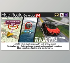
For travel and movement animations, Atlas supports curved arcs, great-circle routes, and paths along real streets. Routes can include animated travelers, arrowheads, distance counters, and callouts.
The camera tools provide several movement options:
Fly To: Move the camera toward a selected location.
Orbit: Rotate the view around a geographic area.
Tour: Create movement between multiple locations.
Follow Track: Move the camera along recorded geographic movement.
Additional map elements include scale bars, north arrows, locator maps, and detailed insets.
The Update Map function analyzes the composition's animation and adjusts map coverage to keep the geographic imagery sharp throughout the camera movement.
Import Geographic Files and Open Data
Atlas can read geographic datasets from files, pasted tables, or URLs. After importing data, the panel identifies its contents and presents suitable visualization options.
Supported formats include:
| Data category | Supported formats |
|---|---|
| Geographic shapes | GeoJSON, TopoJSON, Shapefile, KML, KMZ, WKT |
| GPS and movement tracks | GPX, TCX, FIT |
| Tables and structured data | Excel, CSV, TSV, JSON |
| Geographic databases | GeoPackage |
| Raster and elevation data | GeoTIFF |
| Transport information | GTFS |
Atlas can transform tabular information into choropleth maps, bubbles, and animated arcs. Time-based datasets can be displayed across different years, while recorded GPS tracks can preserve their original movement timing and elevation.
The tool also connects to open data sources including USGS, NASA, World Bank, geoBoundaries, OpenFlights, and OpenStreetMap. These sources provide information for visualizations involving earthquakes, natural events, economic indicators, administrative boundaries, airports, and geographic locations.
Create Maps Using AI with Atlas MCP
Atlas includes an MCP connector that works with compatible AI applications, including Claude.
Through this connector, users can describe mapping tasks in natural language. The AI application can request a map, add geographic elements, import data, change styles, and control camera movements.
The resulting map and its elements appear directly in the After Effects composition as editable layers.
Atlas MCP also supports reviewing the generated frame and making further adjustments. Individual actions can be undone in After Effects.
The connector operates locally and remains disabled until the user enables it.

Files Password : gfxplugin.com OR 123456